Light My Fire
I saw the signs for a prescribed fire at the entrance to our neighborhood last week. We live near two Austin Water Quality Protection Lands and one of the land management tools they use is a prescribed burn, also known as a controlled burn.
They notify the area residents that they will be conducting a burn in order to keep the fire departments for being flooded with phone calls when it happens. They usually announce a window of several days during which they might burn. The weather conditions have to be just right – recent rains and wind conditions being most important.
One of the managed lands is along Little Bear Creek and the other is along Onion Creek. I feel lucky to live near them. It’s estimated that before we fenced the land and kept wildfires from spreading, any single spot in our part of Central Texas would experience a wildfire about once every seven years. Fires are an important tool in maintaining a grassland because grass thrives after a fire, while woodier species are killed. Austin is interested in promoting grasslands in these areas because they allow more rainfall to get into the underground aquifers. The two WQPLs near us both feed into Barton Springs.
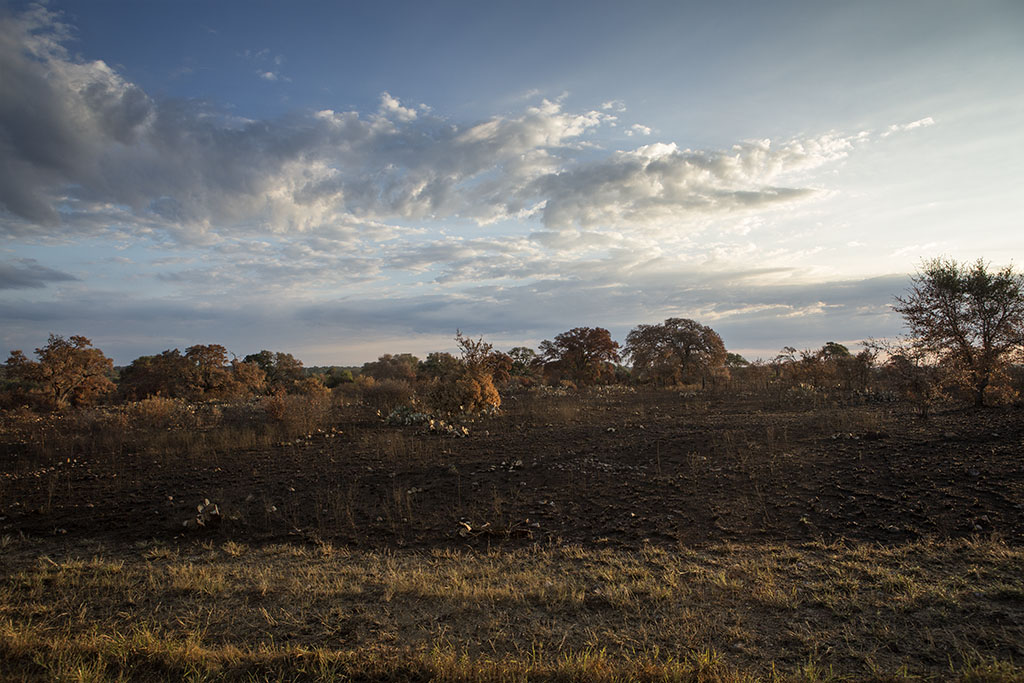
I recently drove by the aftermath of a prescribed fire and was struck by the stark beauty. It was just after sunrise and the sun was casting a nice golden light across the landscape.
Here’s a view to the north. You can clearly see the extent of the fire, with the foreground unburned. It’s amazing how much control they have over the fire.
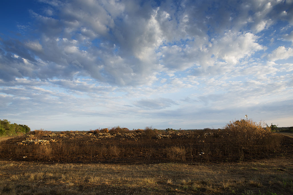
Here’s a view of a rectangular section which burned.
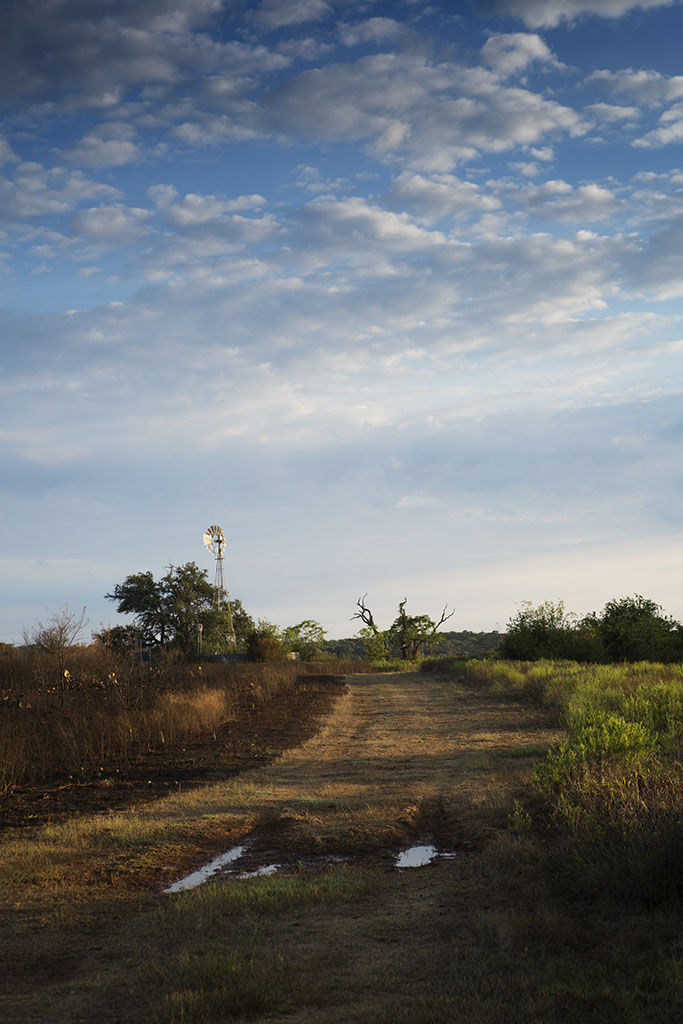
Here, you can see how an old dirt road formed a fire break.


Comments
Light My Fire — No Comments
HTML tags allowed in your comment: <a href="" title=""> <abbr title=""> <acronym title=""> <b> <blockquote cite=""> <cite> <code> <del datetime=""> <em> <i> <q cite=""> <s> <strike> <strong>